This is an old revision of the document!
Geodata to ENVI-met
Geodata to ENVI-met is a plugin for the free and open source geographic information system QGIS (https://qgis.org/en/site/). This plugin allows to quickly convert GIS data to ENVI-met model area input files.
If you are familiar with QGIS or GIS software in general as well as ENVI-met, the plugin will be easy to use. Simply follow the prerequisites on the Welcome page of the plugin.
Quick start
Download and install the latest version of QGIS. You can find and install the “Geodata to ENVI-met” plugin in the top menu or QGIS under:
[Plugins] » [Manage and Install Plugins…]
The plugin has been tested on Windows, Ubuntu and MacOS.
Features
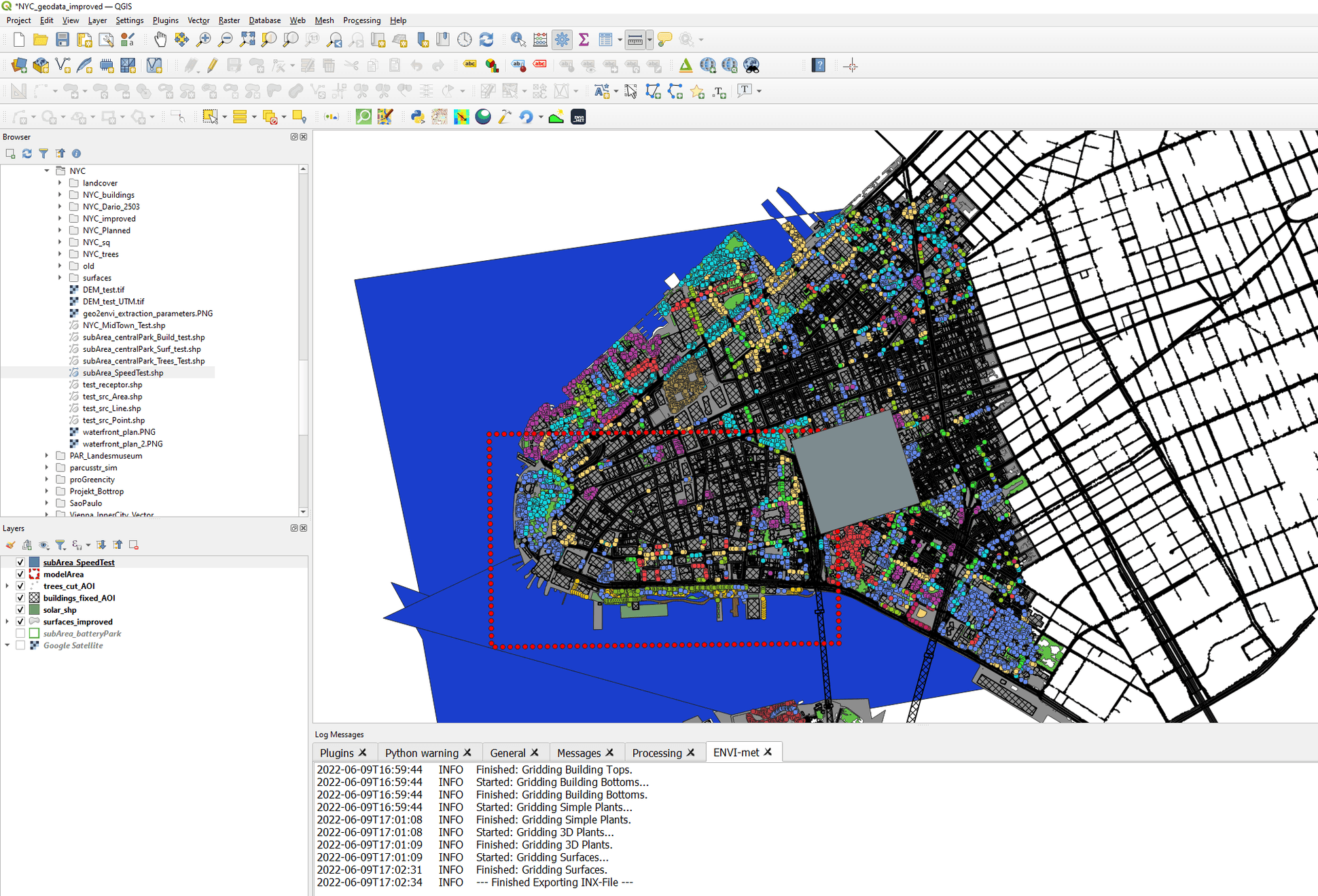
With the plugin, you can quickly create ENVI-met model areas based on geodata. These model areas can then be used to run a microclimate simulation with the ENVI-met.
The following settings can be adjusted by the user:
- horizontal and vertical dimensions of model domain
- resolution of model domain
- buildings (height, undercuts, wall & roof materials and roof and facade greenings
- surfaces types
- simple vegetation such as grass as well as more complex vegetation such as trees
- digital elevation models → terrain
- sources of gases / particulate matter
- receptors
If ENVI-met is installed on your PC (only applies to Windows-Users) - you can use the [Database Lookup] tab das
Documentation
To use the plugin, first ensure that your geodata meets the following prerequisites:
- All layers should be projected in the same map projection system (preferably UTM)
- Layers should hold fields with ENVI-met database IDs where necessary
In order
The ENVI-met model area is a three-dimensional spaces that consists out of individual cuboids. These cuboids can be part of a building, a tree, a terrain etc. To export ENVI-met model areas, the user needs to specify which GIS-layers contain the different information (buildings, vegetation, etc.).
The plugin automatically searches through all currently opened layers and provides all suitable layer types in the layer drop down menus in the various tabs.
The following layer types are expected:
- “buildings: vector data → polygon”
- “surfaces: vector data → polygon”
- “simple plants: vector data → polygon”
- “3D plants: vector data → point”
- “DEM: raster data”
- “Sources / Pollutants: vector data → point / line / polygon”
- “Receptors: vector data → point”
After selecting the layer to be used as an ENVI-met object, the plugin allows to specify the fields in which further information of the ENVI-met object is stored. In case a layer of a particular ENVI-met object has been selected by the user, either a field layer needs to be specified or the checkbox “Use static value instead” needs to be checked.
- Vertical extend of the model area should be roughly twice the height of the highest structures (DEM+ Buildings)
- Lateral boundary should be clear of structures roughly half the height of the adjacent buildings (see Additional Gridding options)
Tutorials
Install the latest version of QGIS. You can find and install the “Geodata to ENVI-met” plugin in the top menu or QGIS under:
[Plugins] » [Manage and Install Plugins…]
Report a bug
If you find a bug, or would like to suggest new features, please do let us know in our forum.