This is an old revision of the document!
![]()
Monde World Editor
The program Monde is the ENVI-met Suite world editor allowing you to digitize your model area vector based before exporting it to a raster based *.INX file.
World Setup
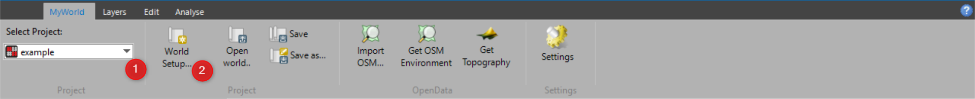
As a first step, similar to most other programs of the ENVI-met Suite, you should select the project you are working in (1). Before creating a new map in Monde, you will need to setup your geographic location. You can do this via the World Setup button (2) in the MyWorld Tab. Here, you can assign a name to your map and define a location in UTM coordinates. This is important if you e.g. load shape files or OSM data into your map and for the simulations later on.
Obtaining Area Data
There are different ways of obtaining area data for this program. You can digitize your area in the program itself, import OpenData, or import Shapefiles.
Digitizing in Monde
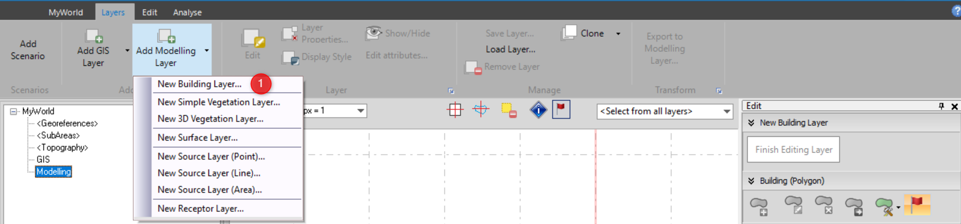
In order to create your own modeling layers in Monde, you can simply add a modelling layer in the Layers tab. Here, you can choose the type of modelling layer you would to digitize (1). These types coincide with the ENVI-met layers buildings, simple and 3D vegetation, surface, point, line, or area source, and receptor.
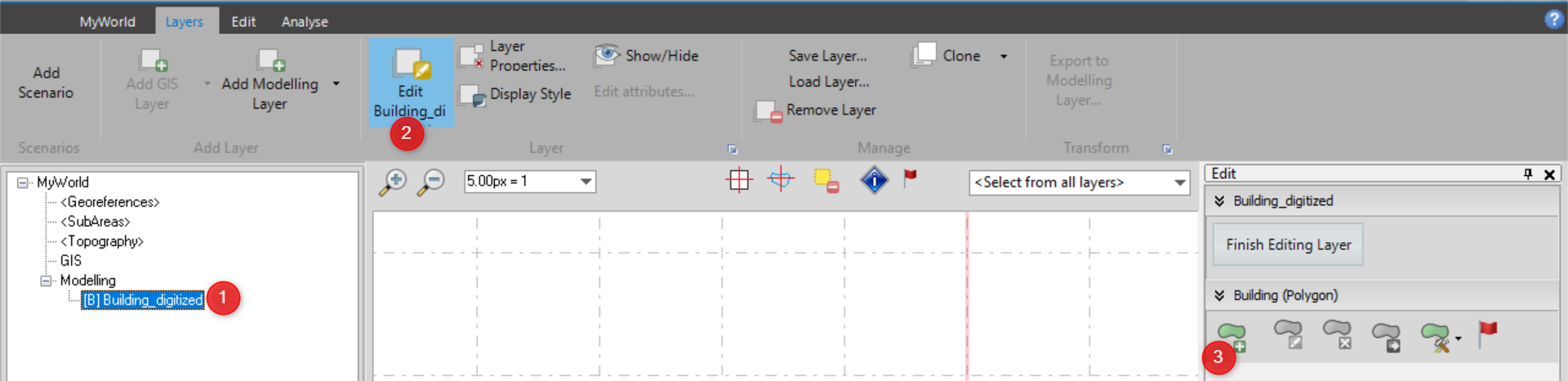
If you e.g. decide to create a building layer, the layer will appear as a modelling layer on the left-hand side (1). With the respective layer selected, you can start editing the layer (2) and digitize your building (3).
For a detailed overview on how to digitize in Monde, please watch our first Monde Expert Lesson.
Importing OpenData
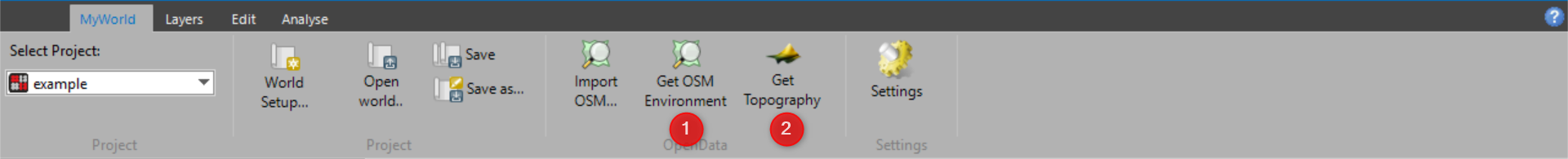
The option to import area information from open data sources might be a convenient way of obtaining data for your simulation. Please find some further information about this data type in our OpenData Overview. Monde currently allows the download of OpenStreetMap (1) and OpenTopography (2) data .
For a detailed overview on how to digitize in Monde, please watch our second Monde Expert Lesson.
Importing Shapefiles
Work in progress…

Export Data to ENVI-met Format
Work in progress…